AI Satellites on Your Smartphone: The Future of Earth Observation Is Here
AI Satellites on Your Smartphone: The Future of Earth Observation Is Here
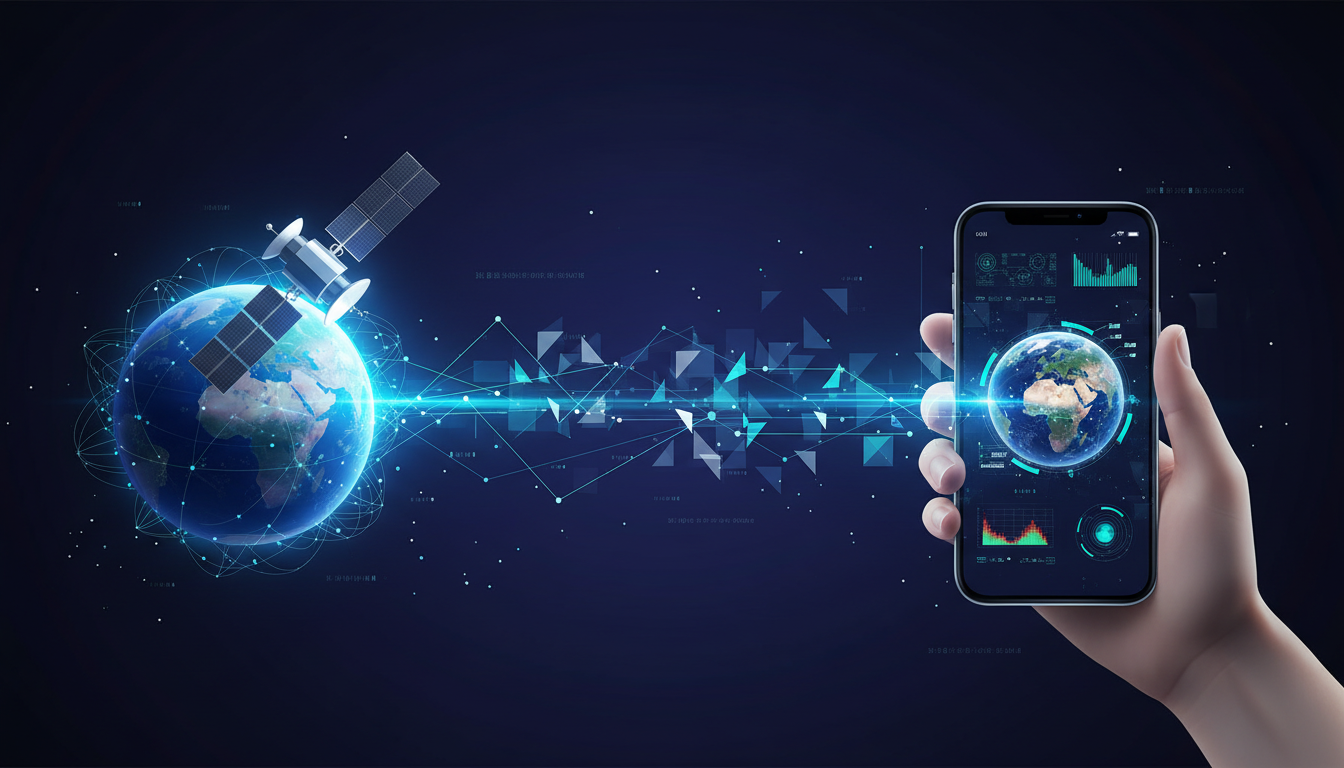
The rapid advancement of artificial intelligence (AI) has opened up new frontiers in the way we perceive and interact with our planet. Recent developments by IBM Research, in collaboration with NASA and ESA, have introduced AI-powered Earth observation models that can now run on devices as ubiquitous as smartphones. This innovation marks a significant leap in democratizing access to powerful geospatial analysis tools, bringing them directly into the hands of everyday users.
Bringing Earth Observation to the Masses
Earth observation has traditionally been the domain of large organizations equipped with sophisticated and expensive hardware. However, IBM’s recent initiative seeks to change this paradigm by open-sourcing lighter versions of its renowned Prithvi and TerraMind models. These models, originally requiring substantial computing power, have been slimmed down to operate efficiently on consumer-grade devices like smartphones and laptops.
The open-sourcing of these models is a strategic move aimed at expanding the accessibility of Earth observation tools. Individuals and organizations working in remote and resource-limited areas can now harness the power of AI without needing extensive infrastructure. This democratization of technology could revolutionize fields such as environmental monitoring, agriculture, and disaster management, enabling real-time data analysis and decision-making.
The Technological Leap
The Prithvi and TerraMind models have been pivotal in advancing Earth observation capabilities. TerraMind, developed as part of the FAST-EO initiative with backing from the European Space Agency (ESA), has set new benchmarks in the field. It employs a multimodal generative AI approach to process and interpret vast amounts of Earth observation data efficiently.
Similarly, Prithvi EO 2.0, developed in collaboration with NASA, has enhanced geospatial analysis by providing insights into seasonal and dynamic changes on Earth. However, the challenge has always been the models’ portability. Prior iterations required high-performance computing environments, limiting their application in field settings.
The introduction of the lightweight “tiny” and “small” versions of these models overcomes these limitations. Despite their reduced size, these models maintain impressive performance levels, with only a marginal drop in efficiency compared to their larger counterparts.
Real-Time Data Processing in Space
The implications of these advancements extend beyond terrestrial applications. Modern satellites, equipped with sensors and computational capabilities, have traditionally carried pre-installed machine-learning models. However, the cost and complexity of updating these models post-launch have been prohibitive.
With IBM's new models, the concept of software-defined satellites becomes achievable. The models' compact size allows for easy updates even while satellites are in orbit. This capability enables satellites to not only collect data but also process and analyze it in real time. By filtering out irrelevant information, they can transmit only critical data back to Earth, enhancing efficiency and response times in scenarios such as climate disaster management.
Empowering Edge Devices
The ability to run sophisticated Earth observation models on everyday devices like smartphones and laptops opens up a new world of possibilities. For example, IBM has demonstrated the use of TerraMind.tiny to detect elephants from drone imagery, a project aimed at protecting wildlife. This application showcases how AI models, when made accessible, can be pivotal tools in conservation efforts.
Moreover, these models can be fine-tuned and customized for various applications with minimal hardware requirements. Developers and researchers can leverage these tools to create innovative solutions for monitoring and understanding our planet, regardless of their location or resources.
A Call to Innovators
The release of these models under an Apache 2.0 license on platforms such as Hugging Face invites developers and researchers worldwide to explore their potential. With the barriers to entry significantly lowered, individuals with a conventional laptop can now experiment with these models, potentially leading to breakthroughs in environmental science, urban planning, and beyond.
As we continue to face global challenges such as climate change and biodiversity loss, the ability to observe and respond to these issues in real time becomes increasingly crucial. By placing powerful data analysis tools in the hands of more people, IBM and its partners are empowering a new generation of innovators to contribute to the sustainable management of our planet.
In conclusion, the fusion of AI with Earth observation represents a transformative step forward. As these models become more accessible, they hold the promise of unlocking new insights and driving positive change across the globe. The future of Earth observation is not only here; it is in our pockets, ready to be harnessed for the greater good.